The Downtown Flat Rock Downtown Development Authority (DDA) district boundaries define the geographic area in which the DDA operates. Properties located within these boundaries are eligible for DDA programs, planning initiatives, and certain development-related opportunities.
This page provides an overview of the DDA district area and access to official boundary maps and related documentation.

The DDA district encompasses the core downtown area of Flat Rock as established by ordinance and planning documents. The boundaries are designed to support coordinated investment, economic development, and long-term planning within Downtown Flat Rock.
Only properties located within the defined DDA district are subject to DDA-related policies and may be eligible for programs such as grants, development initiatives, and infrastructure improvements.
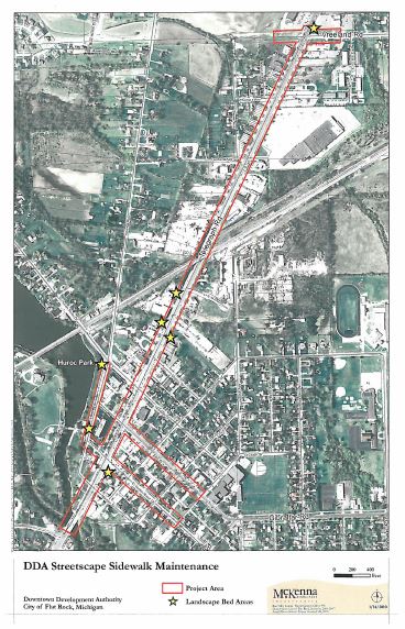
The map below illustrates the current boundaries of the Downtown Flat Rock DDA district. This map is provided for general reference and reflects the most up-to-date information available.
Official documentation related to the establishment or amendment of the DDA district boundaries is available below. These records provide additional detail regarding how the boundaries were defined and may include maps, legal descriptions, and supporting planning materials.
Property owners located within the DDA district may be impacted by or eligible for DDA initiatives, including development incentives, façade improvement programs, and public infrastructure investments. Being within the district also means properties are included in downtown planning and economic development efforts.
If you are unsure whether a property is located within the DDA district, we encourage you to review the boundary map or contact the City of Flat Rock for confirmation.